

The District Served by Deben Mahata Government Medical College & Hospital
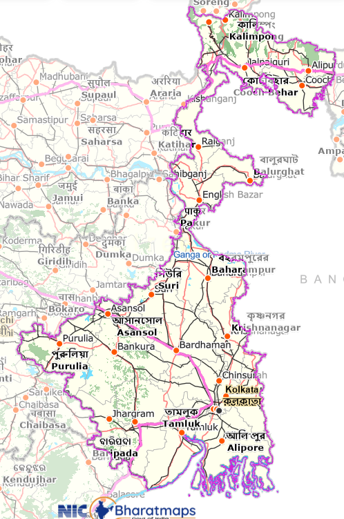
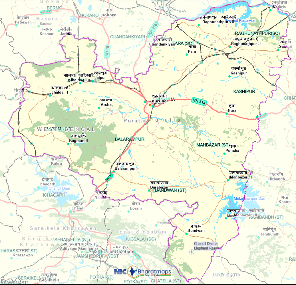
Purulia is the westernmost district of West Bengal and forms part of the Chota Nagpur Plateau. Its landscape is characterised by undulating and rocky terrain, scattered hills, forests, lateritic and red soils, seasonal water bodies and a distinctive cultural heritage shaped by its tribal and rural communities. The district occupies an important geographical position in western West Bengal, adjoining Jharkhand and lying close to Odisha. ¹˙²
The present Purulia district came into existence on 1 November 1956, following the reorganisation of the former Manbhum district. It covers an area of approximately 6,259 sq. km and had a population of 2,930,115 (29.30 lakh) according to the 2011 population profile reported by the District Administration. ²
Deben Mahata Government Medical College & Hospital (DMGMCH) is an important Government teaching and healthcare institution serving the population of Purulia and surrounding areas. Through its Sadar and Hatuara campuses, the institution provides healthcare services together with medical education, clinical training and research. ³
History
The history of present-day Purulia is closely associated with the former Manbhum district.
In 1833, the Jungle Mahals district was reorganised and the new Manbhum district was constituted, with its headquarters initially at Manbazar. In 1838, the district headquarters was transferred to present-day Purulia. ⁴
Following the reorganisation of states in the 1950s, the former Manbhum district was divided between Bihar and West Bengal. The present Purulia district was formed on 1 November 1956 and became part of West Bengal. ⁴
Population & Demographics
The 2011 population profile recorded a predominantly rural population. Of the district's 2,930,115 residents, 2,556,801 (87.26%) lived in rural areas and 373,314 (12.74%) lived in urban areas. ²
Demographic Profile
The same district profile records 2,667 villages, including 2,459 inhabited villages, together with 25 Census Towns and 3 Statutory Towns.²
Administrative Profile
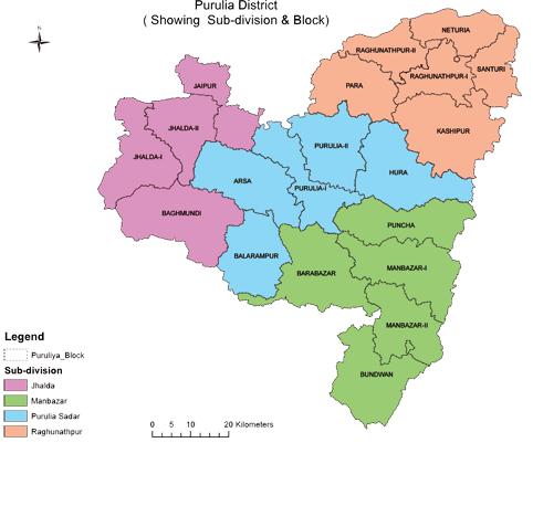
Purulia is administered through four subdivisions:
- Purulia Sadar
- Jhalda
- Manbazar
- Raghunathpur
The district comprises 20 Community Development Blocks and 3 Municipalities.²
These administrative divisions form the framework for delivery of public services, including healthcare, education and rural development.
Government Healthcare Network
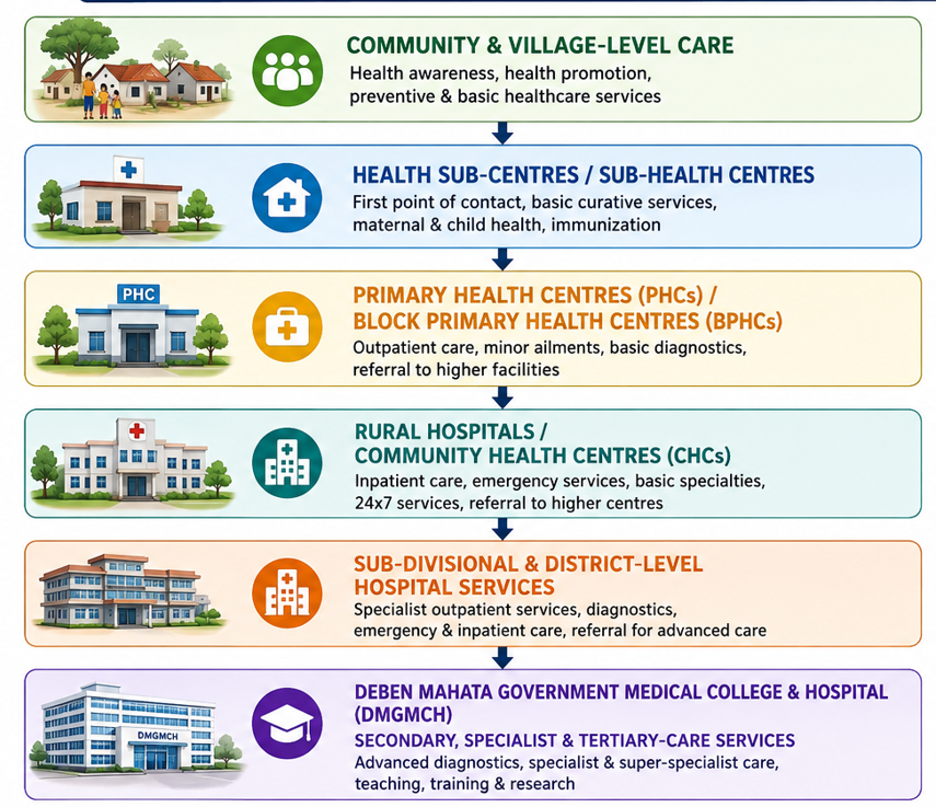
Purulia has a broad Government healthcare network extending from community-level services to secondary and district-level hospital care.
According to the current Purulia District Administration Health information, the district has: ⁵
The District Administration identifies Chalyanpur PHC in Purulia-II Block and Sidhi PHC in Joypur Block as non-functional, accounting for the two PHCs that are not currently functional.⁵
The District Administration lists Deben Mahato Hospital as the District Hospital, with a reported capacity of 506 beds.⁵
This network provides healthcare across the district, with patients requiring services beyond the capabilities of peripheral facilities being referred to higher-level institutions according to clinical need, available services and local referral arrangements.
Illustrative District Healthcare Referral Network
Climate
Purulia has a distinctly seasonal climate, with hot summers, a south-west monsoon and comparatively cool and dry winters. Rainfall is strongly seasonal, with the majority occurring during the monsoon period. These seasonal variations influence agriculture, water resources, vegetation and tourism.⁶
The October-to-February period is generally favourable for tourism and outdoor activities because of the comparatively comfortable weather and post-monsoon landscape.
Culture & Heritage
Purulia has a distinctive cultural identity rooted in the traditions of its tribal and rural communities. Jhumur music and dance, Chhau, folk performances, traditional festivals and local crafts form important elements of its cultural heritage. ¹
Purulia Chhau
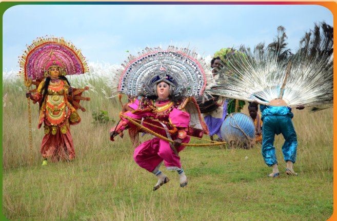
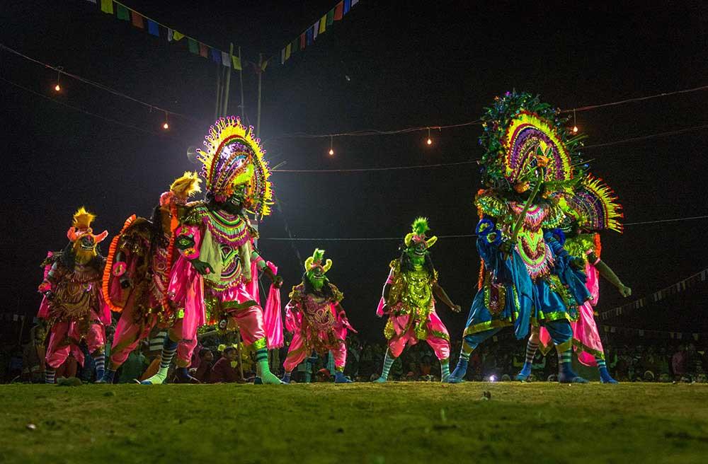
Chhau is a traditional dance form of eastern India with three recognised regional styles associated with Serai Kella, Purulia and Mayurbhanj.
The Purulia style is particularly known for its elaborate masks, vigorous movements and themes drawn from epics, folklore and traditional narratives.
Chhau Dance was inscribed in 2010 on UNESCO's Representative List of the Intangible Cultural Heritage of Humanity. ⁷
Major Tourist Attractions
Purulia's natural and cultural landscape has made it an important tourism destination in western West Bengal. Major attractions include:
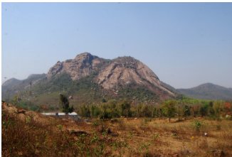
Ayodhya Hills
The Ayodhya Hills, in the Baghmundi area, are characterised by hills, forests, waterfalls and opportunities for trekking and other outdoor activities.¹
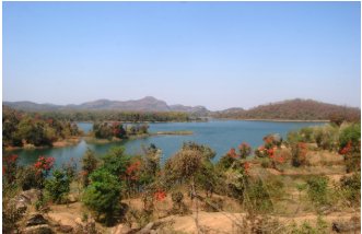
Baranti
Baranti is a scenic reservoir landscape situated between Muradi Hill and Baranti Hill, known for its natural setting and reservoir views.¹
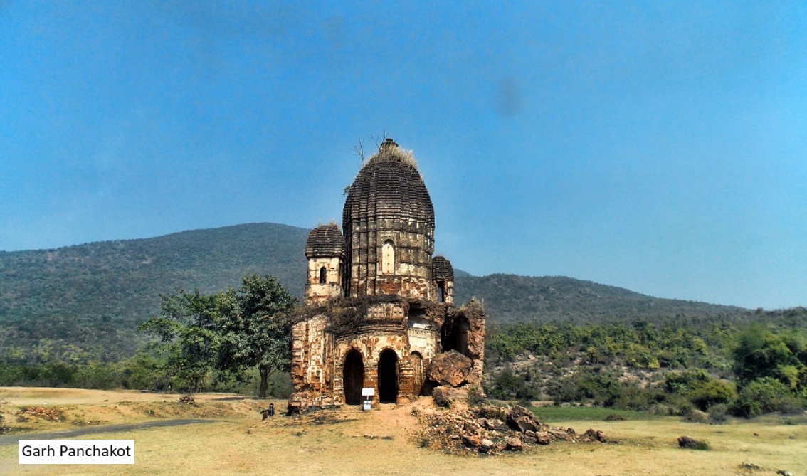
Garh Panchakot
Garh Panchakot, at the foothills of Panchet Hill, combines natural scenery with historical and archaeological remains and views of the Panchet reservoir.¹
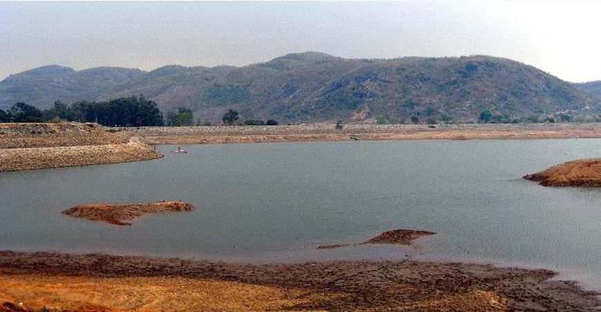
Murguma
Murguma is a scenic reservoir surrounded by the hills and forests of western Purulia.¹
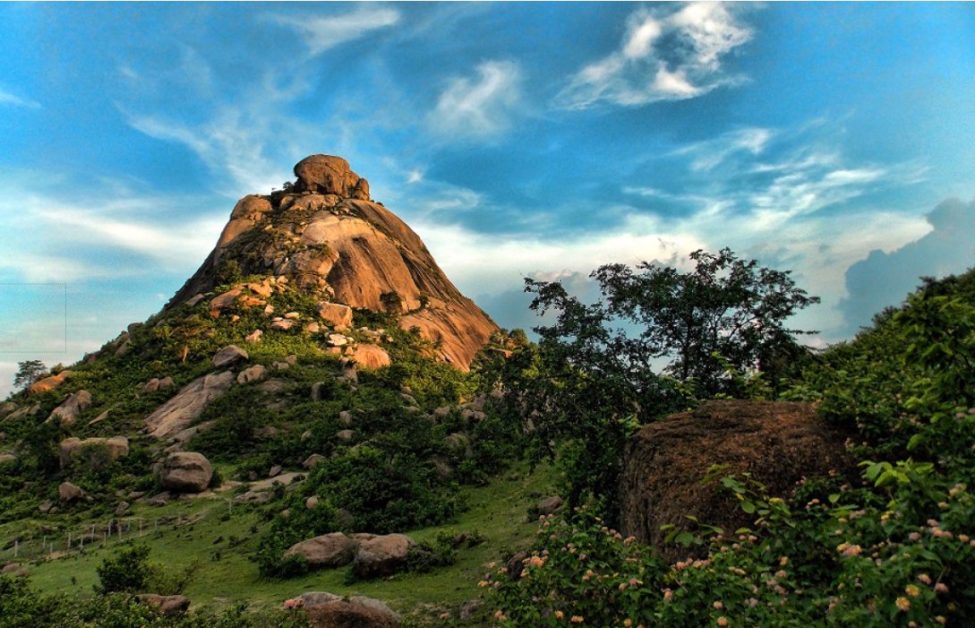
Joychandi Pahar
Joychandi Pahar is a prominent hill known for its landscape and outdoor recreational opportunities.¹
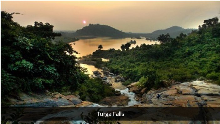
Turga Falls
Turga Falls, in the Ayodhya Hills region, is particularly attractive during and after the monsoon.¹
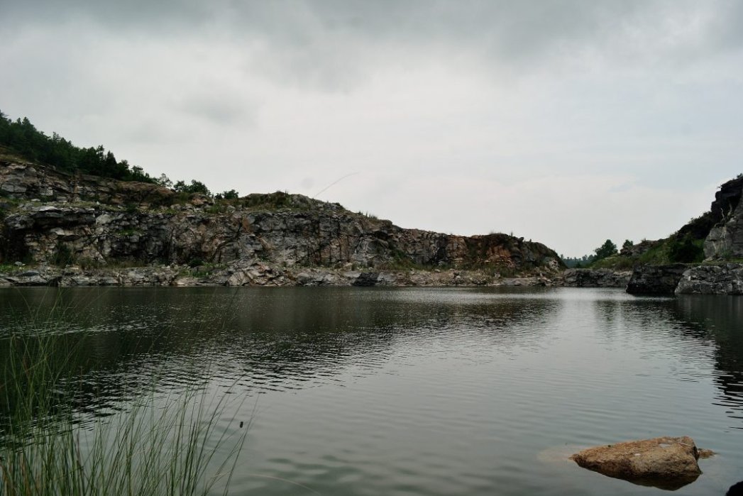
Durga Bera lake
Durge Bera is 40 feet deep artificially made water body. It gives a amazing color under a clear sky. The water turns blues and looks fresh pure and transparent. Therefore this place is also known as “Nil Jal “too. This place has been created by extracting hard igneous rocks which has been used for construction of Hydro Project. So the extracted rocks are everywhere surrounding the water body.
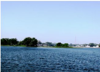
Saheb Bandh
Saheb Bandh, located in Purulia town, is an important local water body and landmark.¹
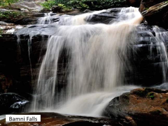
Bamni Falls
Bamni falls is a scenic waterfall surrounded by lush green forest. It is a popular picnic spot in Baghmundi, Purulia. This place is a great place for nature lovers and adventure enthusiasts. It takes a 20-30 mins trek through beautify forest trail from the entrance to reach the waterfall. The area is covered by tall Sal trees and the rich flora is the home to many varieties of birds.
Economy
Agriculture remains an important component of the rural economy of Purulia. Paddy is the principal crop, and a substantial proportion of cultivation depends on rainfall. Small and marginal agricultural holdings constitute a significant part of the agricultural landscape. ²
Other livelihood and economic activities include forest-based livelihoods, lac cultivation, animal husbandry, tourism and industrial activities. The district's natural resources and geographical position contribute to its broader economic significance. ¹˙²
Deben Mahata Government Medical College & Hospital
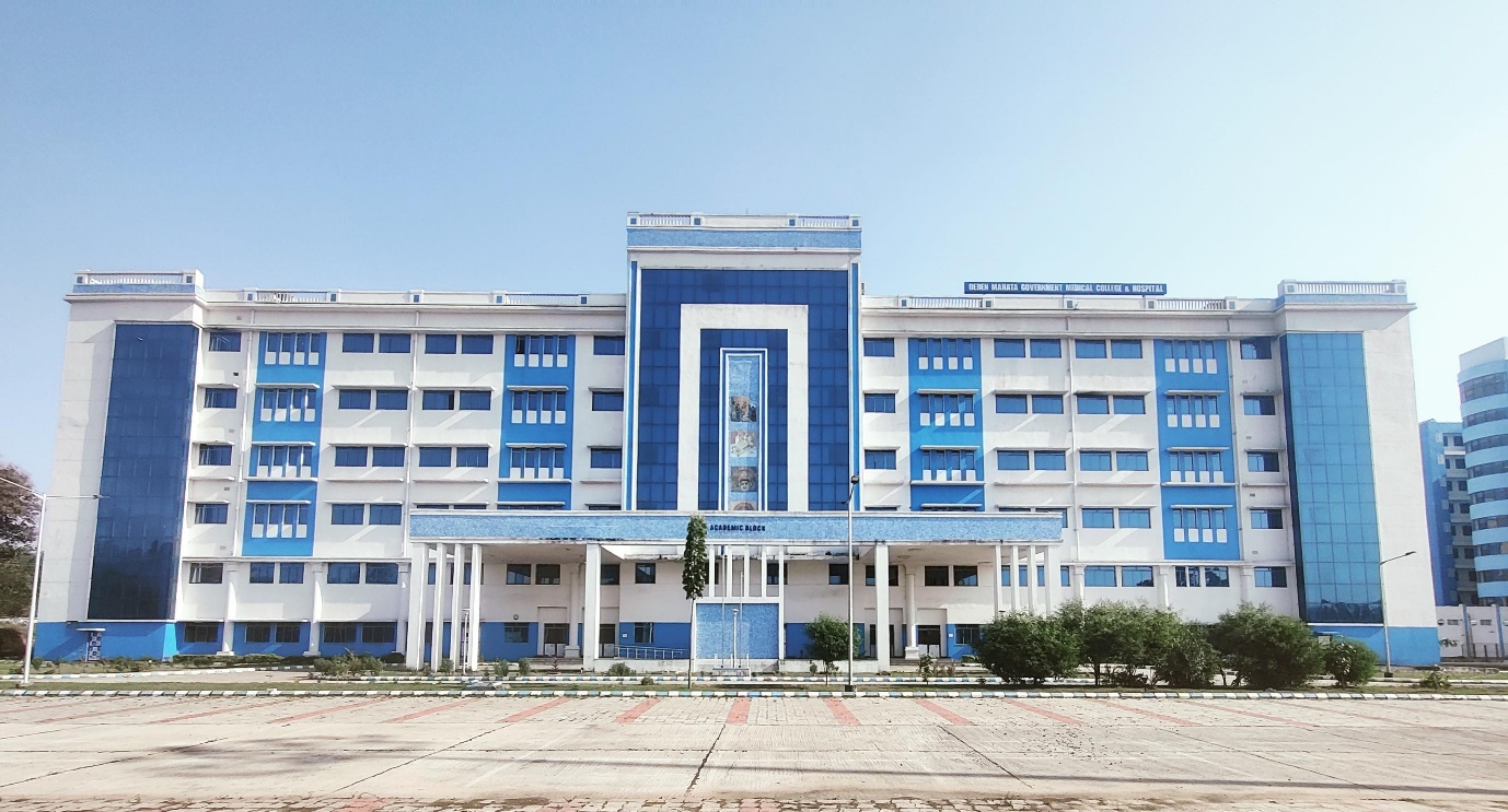
Deben Mahata Government Medical College & Hospital (DMGMCH) is an important Government teaching and healthcare institution serving Purulia and surrounding areas. ³
The institution operates through its Sadar and Hatuara campuses, providing emergency, outpatient and inpatient care, operative and surgical services, specialised clinical care, diagnostic services and critical care, alongside medical education, clinical training and research. ³
The Sadar Campus incorporates the district-hospital component of the Government healthcare system, while the Hatuara Campus serves as the medical-college and expanded teaching and tertiary-care campus. ³
DMGMCH therefore occupies an important position within the district healthcare system, providing higher-level clinical services and serving patients referred from peripheral healthcare facilities and surrounding areas.
2025 DMGMCH Service Statistics
| Service Indicator | 2025 |
|---|---|
| Annual Emergency Attendance | [Insert verified HMIS figure] |
| Annual OPD Attendance | 5,42,645* |
| Annual Indoor Admissions | 91,367* |
Purulia District at a Glance
- Area
- 6,259 sq. km
- Population – 2011
- 29,30,115
- Rural Population
- 25,56,801 (87.26%)
- Urban Population
- 3,73,314 (12.74%)
- Literacy Rate
- 64.48%
- Sex Ratio
- 957 females/1,000 males
- Scheduled Caste Population
- 19.38%
- Scheduled Tribe Population
- 18.45%
- Population Density
- 468/sq. km
- Subdivisions
- 4
- Community Development Blocks
- 20
- Municipalities
- 3
- Villages
- 2,667
- Inhabited Villages
- 2,459
- Census Towns
- 25
- Statutory Towns
- 3
- Functioning Health Sub-Centres
- 485
- Primary Health Centres
- 53
- Functional PHCs
- 51
- Block Primary Health Centres
- 15
- Rural Hospitals / CHCs
- 5
- Sub-Divisional Hospital
- 1
- District Hospital and Medical College
- 1
- Government Mental Hospital
- 1
References
- 1. Department of Tourism, Government of West Bengal. Purulia [Internet]. Kolkata: Government of West Bengal; Available from: West Bengal Tourism – Purulia
- 2. Purulia District Administration, Government of West Bengal. District Profile Purulia: Government of West Bengal; Available from: Purulia District – District Profile
- 3. Deben Mahata Government Medical College & Hospital. Official institutional information Purulia: DMGMCH. 4. Purulia District Administration, Government of West Bengal. History Purulia: Government of West Bengal; Available from: Purulia District – History
- 5. Purulia District Administration, Government of West Bengal. Health. Purulia: Government of West Bengal; Available from: Purulia District – Health
- 6. India Meteorological Department. Climate and rainfall information New Delhi: Ministry of Earth Sciences, Government of India; Available from: India Meteorological Department
- 7. United Nations Educational, Scientific and Cultural Organization. Chhau Dance: Representative List of the Intangible Cultural Heritage of Humanity Paris: UNESCO; 2010 . Available from: UNESCO – Chhau Dance